
To celebrate the American Library Association’s Preservation Week (April 21-27, 2019), the Chicago Public Library has posted some remarkable photographs of their conservation work on a very fragile map of Jackson Park before the 1893 World’s Fair.
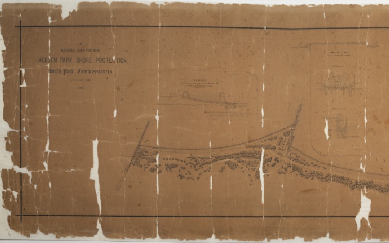
Portion of an 1885 map showing the “General Plan for the Jackson Park Shore Protection.” [Image from the Chicago Public Library.]
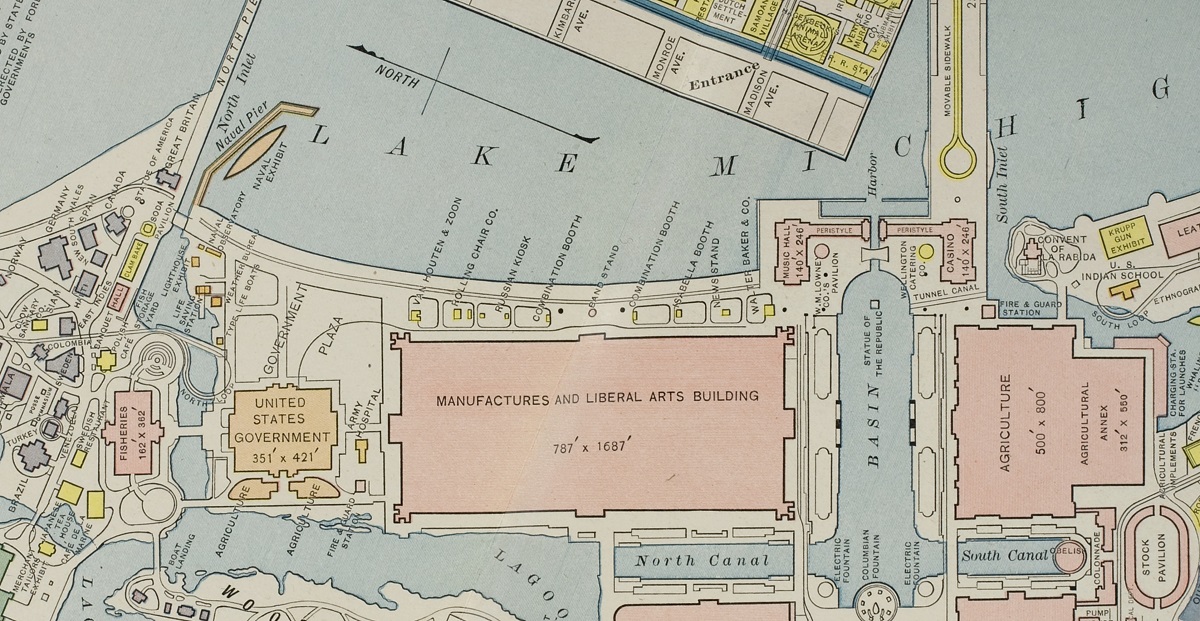
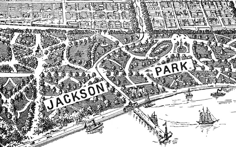
Portion of a map showing the Lake Michigan shoreline 8 years later, during the 1893 World’s Columbian Exposition in Jackson Park, Chicago.


Leave A Comment